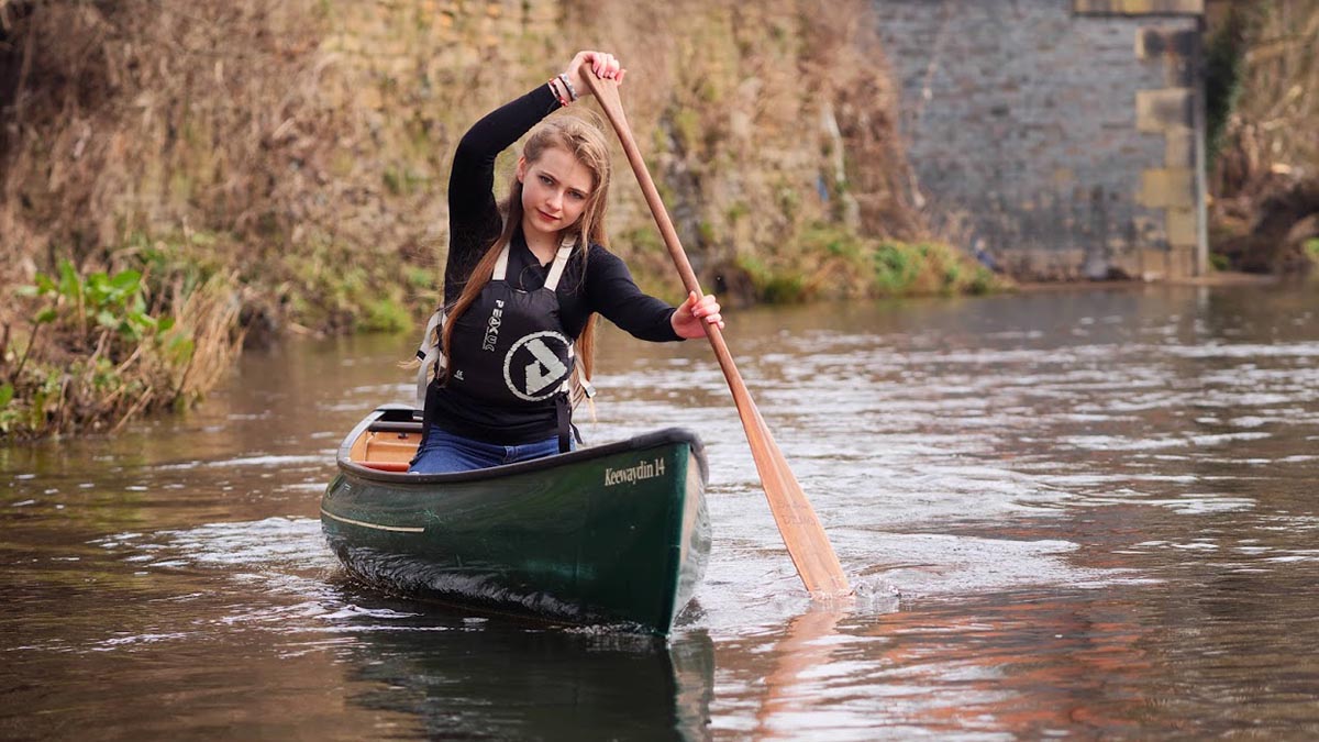
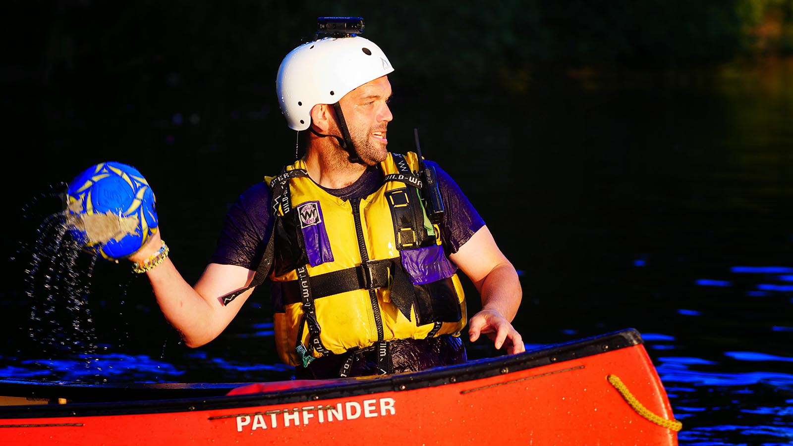
As a rule, the River Calder and the Calder & Hebble Navigation are really forgiving places to be. That’s especially true on an idyllic day in summer, at normal water levels… but with care, the Club’s stretch can be used all year round and in a wide range of conditions.
Pennine runs a “traffic light system” to help member make common-sense decisions in ways which mean we adapt to the conditions and situations we find at the river. Please note: these are simply aids to decision making – if you’re not sure PLEASE get in touch!
Unless you’re already an experienced paddler, you’re only likely to be interested in the conditions covered by our “Green Levels @ Battyeford” page – but feel free to follow the links and get a feel for how things can change and PLEASE consult the prompts we give as potential “Factors To Consider?” (click here).
What we most commonly hope to see…
The River in More Challenging Conditions…
The Club also recognises “Red” and “Black” levels and encourages all members to read up on these. These are levels at which the River Calder can become quite a serious proposition – even on the flat stretches!
- Red Levels – 16” (400mm) to 28” (700mm) above the bottom step of the jetty
- Black Levels – river in spate – more than 28” (700mm) above the bottom step of the jetty
Key Information Sources
Following heavy rain, or if the level looks marginal, Safety Advisors should check the gauge at Elland (Cromwell Bottom): https://flood-warning-information.service.gov.uk/station/8096
Note: if a level is marginal any final decision should be based on trends further upstream at Elland. The above assumes a stable level. If the river upstream is still rising, Safety Advisors may move the status to a higher level.
For a weather forecast, the club recommends https://www.xcweather.co.uk/forecast/Mirfield


